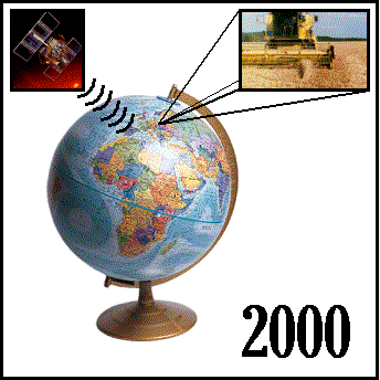
This tutorial was developed to illustrate simple georeferenced data processing techniques assisting in understanding the main principles of spatial data. Knowledge of any software designed for spatial analysis is not required.
The tutorial consist of four divisions. Each of them includes a brief discussion, suggested procedure for data processing, examples and training data sets.