Tutorial on Application of Manifold GIS Software for Precision Agriculture
University of Nebraska-Lincoln
Department of Biological Systems
Engineering
Introduction
There are many GIS
software packages that can be used to view and analyze spatial data
layers related to emerging precision agriculture technology. One such
software, Manifold,
is an affordable option that can be used for multiple tasks described
in this tutorial. Unlike agriculture-oriented
software, Manifold does not have a traditional farm management
interface allowing the storage of data according to a
Grower-Farm-Field hierarchy. Instead, a separate project can be
developed for each
field or another management unit. Generic spatial data management
techniques allow importing,
processing, and interpretation of various data layers typically
associated with precision agriculture. This tutorial was designed to
illustrate how Manifold software and some publicly available resources
can be used to investigate spatial variability within an agricultural
field and provide site-specific crop management recommendations. To
follow all the exercises, Manifold 7x Personal and Manifold 7x
Surface Tools are needed. Contact Manifold Net Ltd (Carson City, Nevada) for more information and prices.
The tutorial is comprised of several
lessons represented by sequences of step-by-step exercises. Although
following through a complete lesson is encouraged, every exercise can be
accomplished independently using the output project from the previous
exercise which is available to download. Input data layers related to the selected production field at the University of Nebraska-Lincoln Agricultural Research and Development Center (Mead,
Nebraska) have been generated using various mapping techniques
or obtained from publicly available web resources. To download an input
data file or an output project, right-click on the name of the file and
save it to the working directory. Individual
improvisation is encouraged to better understand different functions
provided by Manifold software. The help option and on-line software manual
provide additional information related to specific steps in
the spatial data management process described.
Disclaimer:
Commercial products mentioned in this tutorial are for demonstration
only and do not imply endorsement by the authors or the University of
Nebraska-Lincoln or the exclusion of other similar products.
Lessons
- Lesson 1 - Downloading Publicly Available Data
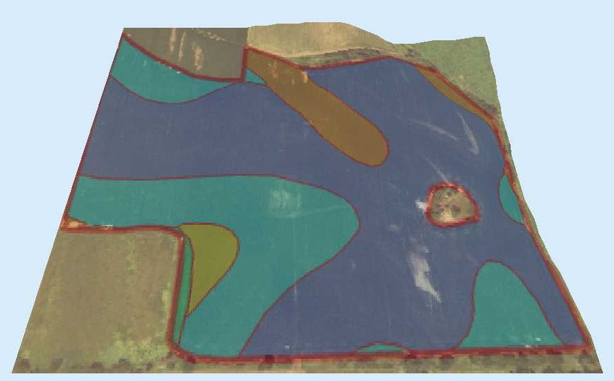
- Lesson 2 - 3D Display of Integrated Publicly Available Data
- Lesson 3 - Processing a Multi-Year Yield History
- Lesson 4 - Visualization and Analysis of Soil Data
- Lesson 5 - Prescription Map Development
Contact Information
Viacheslav I. Adamchuk
Associate Professor, Department of Biological Systems Engineering
Phone: (402) 472-8431, E-mail: vadamchuk2@unl.edu
Return to the home page